WHAT SERVICES WE OFFER
D'Square Digital Survey offers a comprehensive range of surveying, mapping, and construction support services. With modern technology, experienced professionals, and a commitment to accuracy, we deliver reliable solutions for residential, commercial, and infrastructure projects across Kerala.

0+
Projects Completed0+
Happy Clients0+
Years Experience0%
Quality AssuranceProfessional Survey & Construction Services
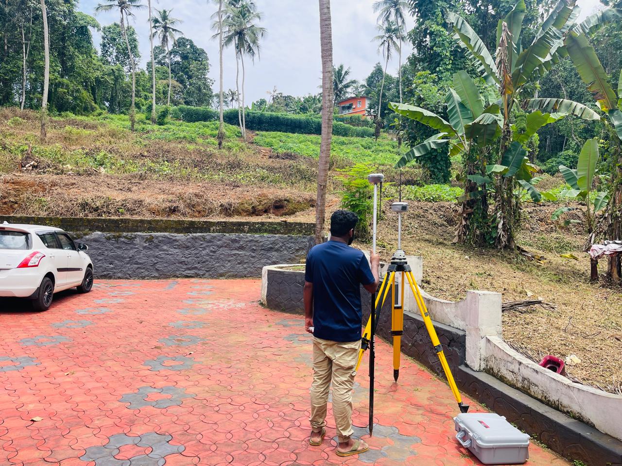
Land Surveying & Mapping
Accurate mapping of land size and boundaries forms the baseline of any successful real estate transaction or development. Land surveying combines modern field science and advanced legal analysis to reestablish exact corners, lines, historical boundaries, and official monuments of real property. By employing precision tools, we eliminate guesswork and secure the legal positioning of your physical assets.
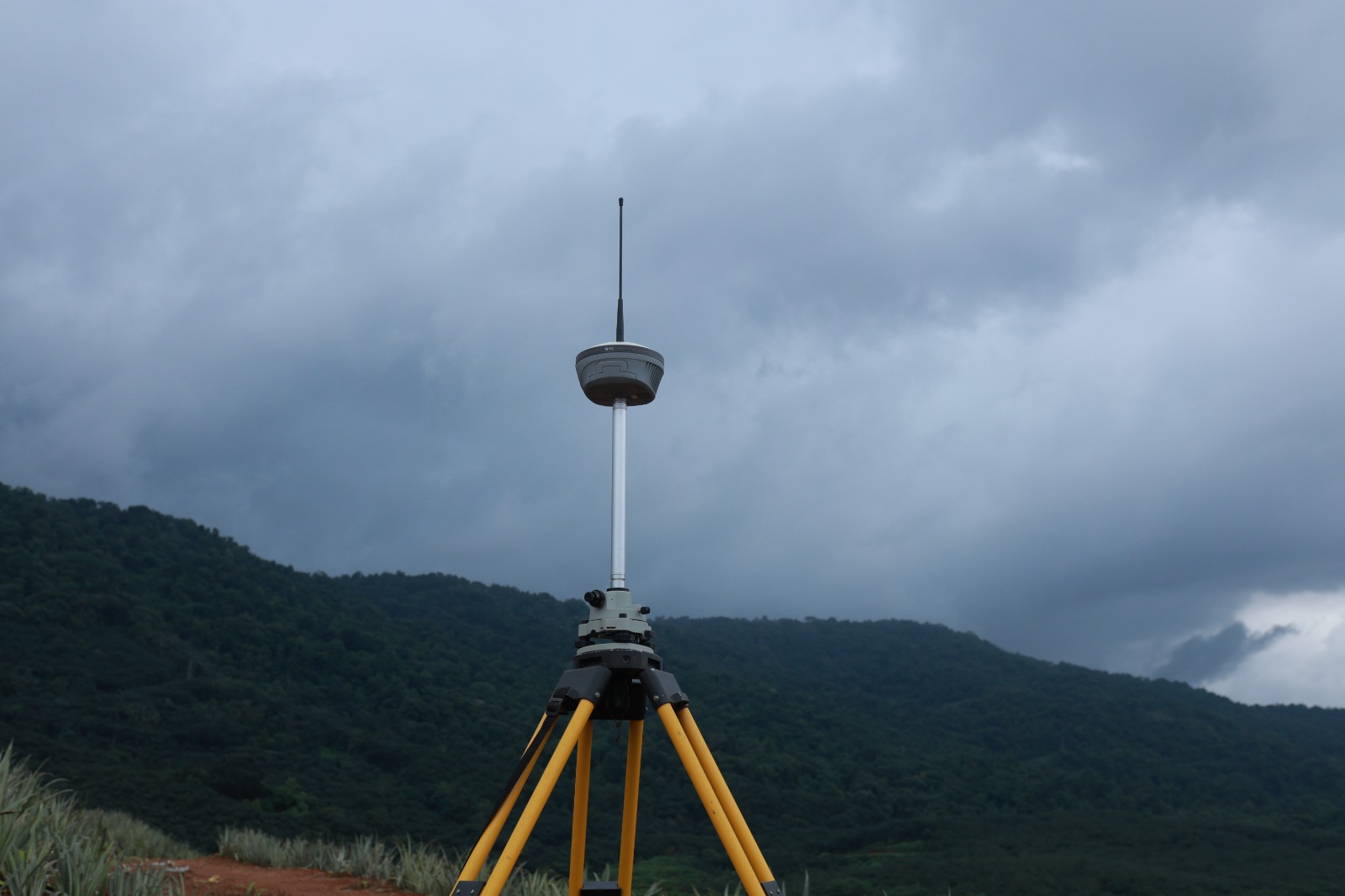
Topographic Survey
This comprehensive methodology involves meticulously identifying and mapping natural and artificial landscape attributes. Our teams chart exact vertical elevations, contour lines, tree lines, existing utility access, structural footprints, and critical public paths. Generating highly precise structural representations provides design professionals, architects, and civil engineers with the vital ground reality data required for complex architectural plotting.
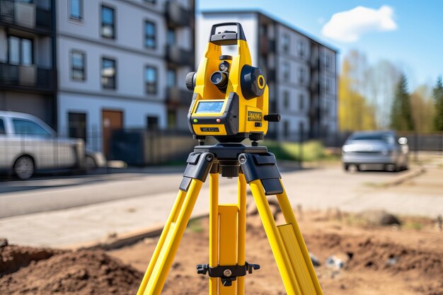
Building Setting-Out
Setting-out bridges the gap between digital conceptualization and physical engineering. We translate architectural floorplans and engineered blueprints into exact physical stakes and layout guidelines directly onto your active build site. This process guarantees that structural footings, specific grid intersections, and wall alignments conform precisely to dimensional plans, preserving compliance tolerances and avoiding costly down-the-line structural retrofits.
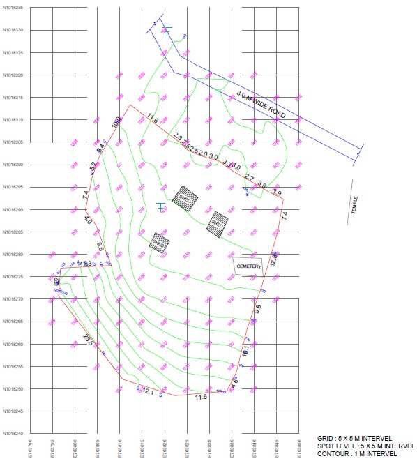
Contour Survey & Quantity Calculation
Understanding the multi-dimensional terrain variations of your parcel is vital before shifting earth. A high-density contour survey yields visually accessible data reflecting slopes, grade dips, and vertical features critical to civil excavation. Beyond structural visibility, we run precision geometric quantity calculations. This math provides developers with verified data regarding cut-and-fill volumetrics, enabling tight logistical management of soil movement and predictable construction site budgets.
Sub-Division Survey
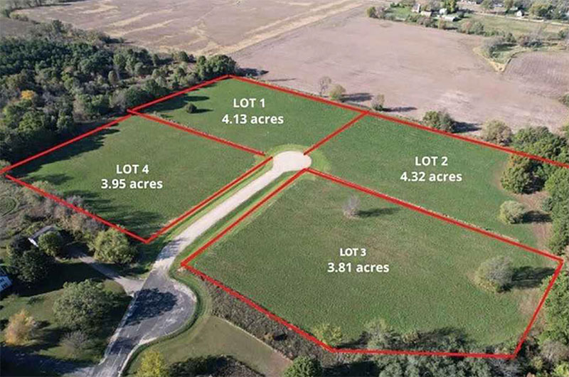
When subdividing land assets into several commercial zones or residential parcels, a professional subdivision survey is critical. We define clean parcel breakdowns, optimize access paths, and map infrastructure allocations according to local planning mandates. All new tract lines are recorded with absolute legal accuracy to support friction-free property titling, hassle-free registry updates, and seamless property value maximization.
Boundary Re-fixing
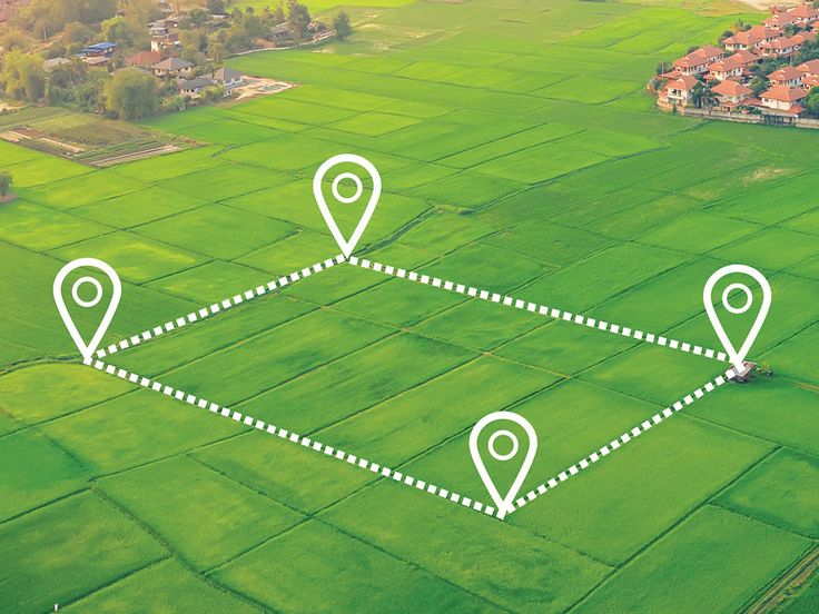
Encroachment concerns and boundary uncertainties present complex challenges when acquiring land assets or initiating edge-fencing construction. Our team specializes in boundary re-fixing workflows, extracting historical land registry deeds and utilizing precise modern coordinates to locate missing pins. By uncovering verified spatial proof, we settle neighborly discrepancies peacefully, offering clarity and protection for your construction layouts.
Road Survey
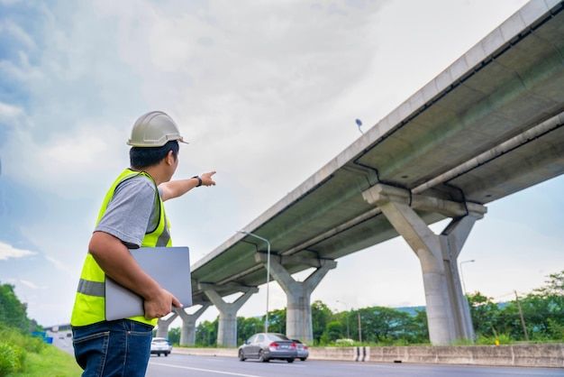
When designing, expanding, or rehabilitating transportation corridors, a comprehensive road survey is indispensable. We establish precise centerline alignments, map existing topographic features, and calculate critical cross-sections and earthwork volumes to ensure optimal drainage and structural integrity. Every grade, curve, and right-of-way boundary is meticulously staked and recorded in strict compliance with engineering standards and local DOT regulations, providing the foundational accuracy needed for flawless construction, streamlined permitting, and long-term infrastructure durability.

Aerial Survey
When capturing high-resolution spatial data across expansive or inaccessible terrain, an advanced aerial survey is the premier solution. We deploy state-of-the-art drone and aircraft technology equipped with LiDAR and photogrammetric sensors to rapidly generate precise topographic maps, 3D orthomosaics, and detailed contour models. By seamlessly blending macro-level efficiency with micro-level accuracy, we deliver the comprehensive geospatial intelligence required to accelerate site feasibility studies, monitor construction progress, and streamline large-scale environmental assessments.
Control Point Establishment
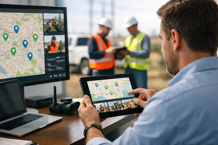
When anchoring any geospatial project to a precise global or local coordinate system, a rigorous control point establishment is foundational. We deploy high-precision GNSS receivers, robotic total stations, and precise leveling techniques to set permanent, highly accurate physical markers across your site. By tying these benchmarks into the national geodetic grid, we eliminate cumulative measurement errors and provide an absolute, unchanging spatial framework that guarantees all subsequent boundary, engineering, and construction surveys align flawlessly.
Volume Survey
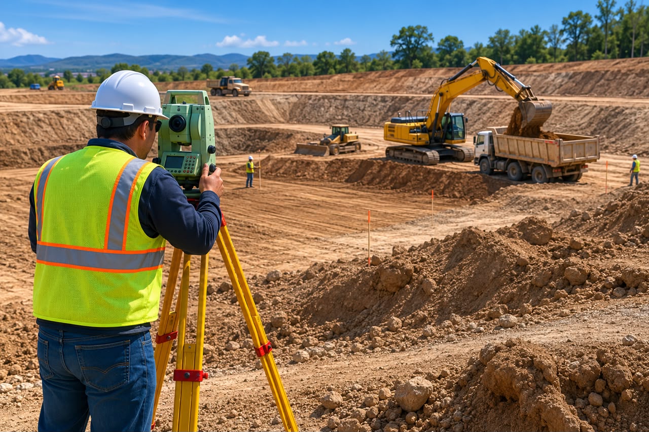
When calculating precise material quantities for stockyard management, mining operations, or major earthwork projects, a high-accuracy volume survey is essential. We utilize advanced 3D laser scanners, aerial drones, and traditional topographic methods to rapidly capture dense point clouds and map irregular surface topography. By comparing these highly detailed digital terrain models against baseline data or design surfaces, we compute precise cut-and-fill metrics and stockpile volumes, ensuring watertight inventory control, accurate contractor billing, and optimized site logistics.
3D Laser Scanning
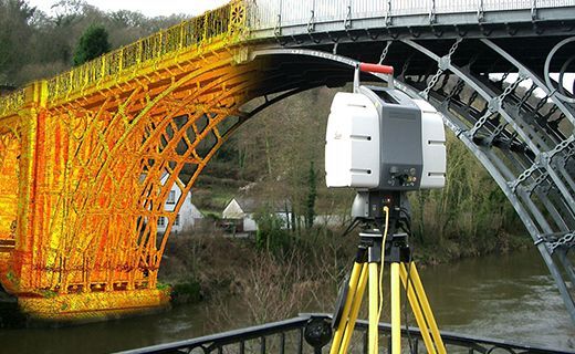
A survey scanner (also called a 3D laser scanner or LiDAR scanner) is an advanced surveying instrument that rapidly captures millions of measurement points to create an accurate three-dimensional (3D) model of the terrain, buildings, or other structures. It is widely used for topographic surveys, construction documentation, as-built surveys, infrastructure inspection, and heritage preservation.
Need Professional Survey & Construction Solutions?
Whether you're planning a residential project, complex commercial development, or critical infrastructure work, our experienced team is equipped with advanced technology to deliver precise, legally compliant, and timely results tailored to your exact project parameters.